Thursday, July 8, 2010

Day 18 Gillette to Newcastle

Today was a short day of 75 miles in beautiful weather. The highlight of the day was seeing the Devil's Tower off in the distance. I also saw a herd of antelope. We had to ride a 8 miles of rough road the was ground down prior to
resurfacing. One thing I like to do is look at the wild flowers. Today there were a lot of little sunflowers.

We're staying at the senior center in Newcastle tonight. Newcastle is the county seat of Weston County. This is a picture of the county courthouse. I'm told at night it's lit up and very beautiful. I'll never know because I'm in bed before the sun goes down.

Kate and Jan

My friends from Detroit who are really from the Czech Republic are making a car road trip west before they head back to Prague met me in Gillette. It was a very short hello and goodbye because they arrived at bedtime and then we were up and gone by 7:30 the next morning. I wish them well on their western adventure.

Check points

This is how we can easily find our check points. Frank is our helper who marks the check points with his ride bike and Susan's cat, not a real one.

Day 17. Sheridan to Gillette, WY

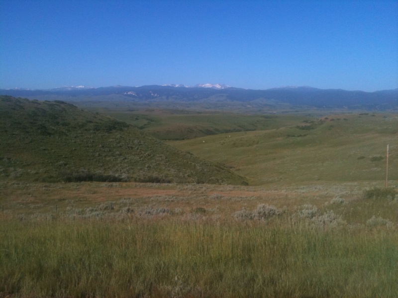
This day is the longest mileage of the whole trip, 112 miles across rolling hills. This is a picture looking back at the big horn mountains as we head toward Gillette on route 14 all day. We finally saw the antelopes today. At mile 51 we had a stop at what used to be cafe and post office. All that's open now is the post office and it's in the middle of nowhere.

I rolled into Gillette 7.5 riding hours after I started at 6 am. It made for a long day. After one beer I was ready to pack it in.

Gillette is the "energy capital of the country" with a lot of coal mining. The trains are loaded with coal that goes all over the country. Trains are constantly going through these towns and the are always sounding their horns, even in the middle of the night. I'm at the point where I don't even hear them anymore, otherwise I'd never get to sleep.

Cue sheet

This is a picture of a cue sheet. It's in a mapholder on my
handlebars. It wasn't hard to learn how to read and ride. Unlike the rides I do at home, there aren't markings on the road unless there are changes to the route. Note this one is for 112 miles, our longest day of the trip.

Tuesday, July 6, 2010

Day 16 Welcome to Wyoming

Last night it rained but once we woke up the rain subsided. The day was cool, damp and overcast for most of the day. We had 85 miles today, primarily an uphill slope with a headwind. It seemed like this was a long day especially after the easy 90 mile day a short while back. We went over the Bigfoot mountains and into Wyoming. The weather warmed up and the afternoon was very pleasant.

We are staying at a KOA in Sheridan ,Wyoming We're in our little tents and then these big campers roll up. I wonder if they consider that camping?

Sheridan is a nice little town with lots of sculptures on Main Street. We had dinner at the rib and chop house

Tomorrow we have a long 112 mile day so we'll be up and on the road early.

Custers battlefield

On our way out of Hardin, MT We stopped by Custer's battlefield. This is where Custer and his army tried to get the Indians to move to the reservation. To say the least, there were a lot more Indians than Custers army and Custer lost the battle along with his life, the army's life and horses lives. This also a national cemetery.